Examples from a project of mine showing what the RV4 (Arma 3) engine can produce:
All posts in Arma (RV4)
Testing supervised classification using another QGIS plugin SCP.
Example showing Maximum Likelihood classifier:
SCP comes with the following classifiers:
– Minimum Distance – Euclidean distance
– Maximum Likelihood – Bayes’ theorem
– Spectral Angle Mapping

Having discovered Orfeo ToolBox and it’s very handy QGIS plugin, I set about reviewing each of OTB’s supervised classifiers, to see which one performs the best with the goal of generating a perfect surface mask that I can use in my terrain project within RV4 engine.
Example showing source raster + libsvm_linear classifier:
Read More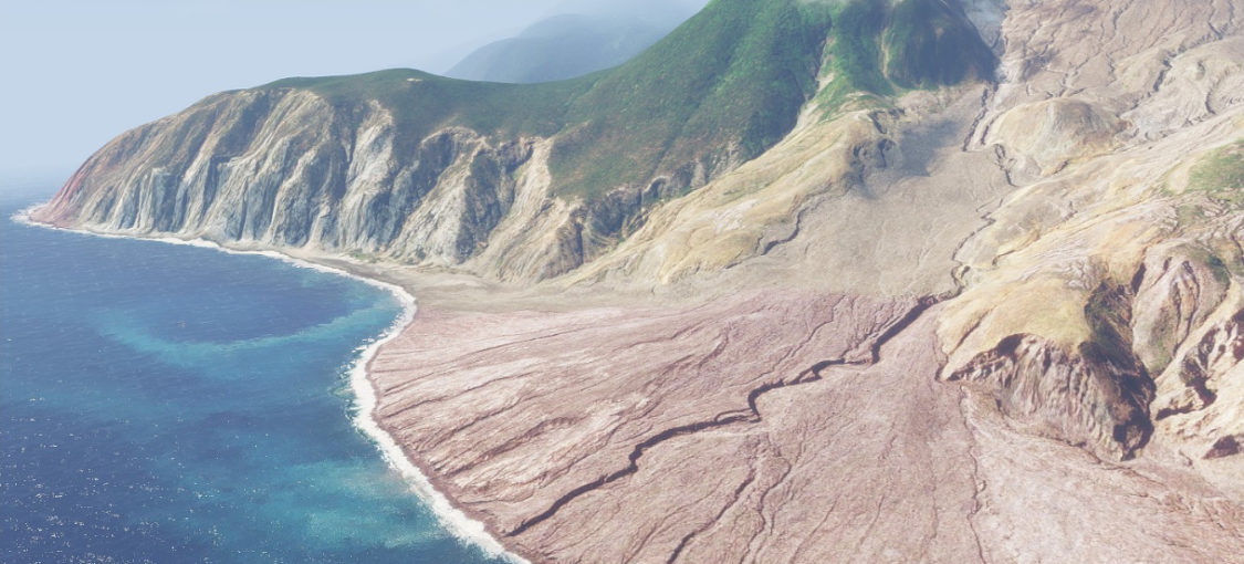
I recently finished off a tutorial covering steps required to get real world data into Arma 3 (RV4 Engine) using only open source tools:
https://github.com/rossoe/Arma3_QGIS
Whilst working out how to manage heightmap and satellite imagery within QGIS in preparation for loading into RV4 Engine, I discovered some interesting things along the way.
The first major issue reared it’s head following a GDAL update affecting the gdalwarp command, which broke a step I had been relying on – ‘Clip to raster by mask layer‘ I asked the question on gdal’s github page, and it was confirmed that I had to switch to use full extents, instead of the easier shapefile mask layer. See below original pipeline which mainly relied upon QGIS GUI config.

This lead me to invest more time learning the construct of the GDAL commands within QGIS’s python console. There is of course a lot more flexibility within command line than using the GUI.
Read More